YHDB Launch New Maintenance Maps
Yorkshire and Humber Drainage Boards have launched its improved maintenance maps this week.
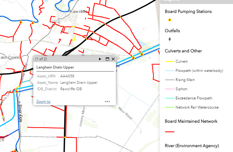
The new mapping product uses ESRI ARCGIS infrastructure and provides a new cleaner user interface to show Board maintained watercourses.
Learning from a series of major incidents the new maps also show other water bodies that interface with the local land drainage system such as main rivers, canals, railway and motorway drainage infrastructure.
The user can change the mapping background to show aerial and other views and can turn information on and off using layer controls. Additional information shall be added to these maps when this becomes available.
To view the new maps click here.